Fascinating courtly intrigue and bloody power games set on a generation ship full of secrets―Medusa Uploaded is an imaginative, intense mystery about family dramas and ancient technologies whose influence reverberates across the stars. Disturbing, exciting, and frankly kind of mind-blowing.” ―Annalee Newitz, author of Autonomous

Showing posts with label paleogeographic maps. Show all posts

Friday, December 7, 2012

Wayne Ranney: Geologist, Adventurer, and Mapmaster Flash


You may recall that I mentioned, sometime in the recent past, the paleogeographic maps are fabulous. Or you may not. But they are. And what's even more wonderful is that Wayne Ranney, one of the guys behind those afore-mentioned fabulous maps will be speaking at the Heard Museum on Tuesday, December 11, at 1:30 p.m. To 3:00 p.m. He'll be signing copies of his books in our book store afterward. I've posted a review of the book he co-wrote with Ron Blakey, Ancient Landscapes of the Colorado Plateau, which features maps that depict what the Colorado Plateau may have looked like millions and even billions of years ago.
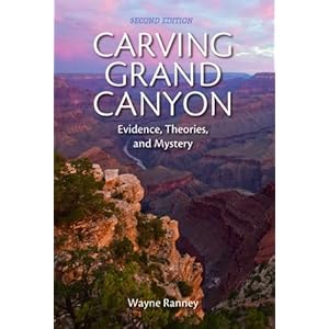

 I will soon be posting a review of Carving Grand Canyon: Evidence, Theories, and Mystery (2nd Edition) which casts light on past and recent arguments about when the Grand Canyon began to form.


 And I look forward to diving into Sedona Through Time, which delves into the formation of one of the most beautiful places on Earth: Oak Creek Canyon.


We have all three titles available at the Heard Museum Book Store, and Mr. Ranney will be signing there after his lecture. Don't miss it!

Thursday, November 1, 2012

Paleogeographic Maps Are Fabulous


Think of the nerdiest comic book fan drooling over his favorite graphic novel - that's how I look when I have this book in my hands. As a geology student who lives in Arizona, I have good reason to be such a geek. Every time I visit the Colorado Plateau, I have a thousand questions about how the strata formed. This book answers most of those questions, and illustrates those answers beautifully with diagrams, cross-section charts, photographs, and "paleogeographic maps." Those maps allow the reader to see what the area may have looked like in the past, from the last part of the Precambrian Era, 1.7 billion years ago, through the Mesozoic with its dinosaurs, to the the Cenozoic and our present epoch. If you've ever tried to visualize the supercontinents, or what the Four Corners area may have looked like when it was turned on its side and hugging the equator, the paleogeographic maps are hugely helpful.

Readers who are more interested in archaeology will gain some perspective as to why the ruins in the Southwest are unique - we've got the perfect strata for canyons, creeks, and cliff dwellings. And anyone who would like more background on the geology of their favorite National Park on the Colorado Plateau will find this book handy. As for me, I'm a happy geek pouring over the details of how each layer was formed and where it's exposed in this landscape I love so much. I will refer to this book again again, until it falls apart and I have to get another one. It's money well spent.